For months Ekaterina has been sending me pictures of the North Branch of the Clinton River from bridges she passes. It looked pretty good in photos, like it might be mostly navigable at least during spring. Having completed the Belle River last year, we needed a new challenge to start out the season.
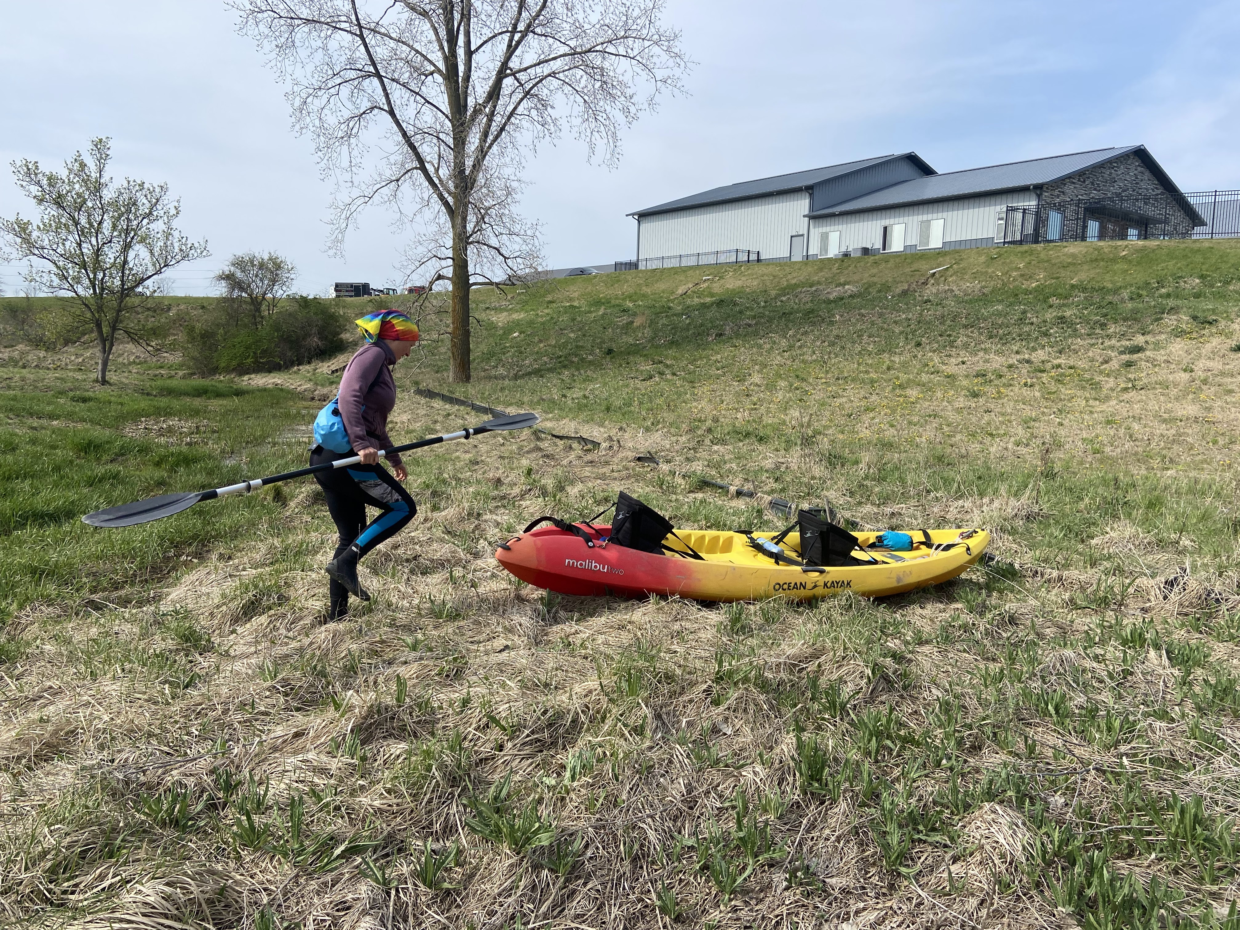
Even though the air temperature has been warming up, the water stays cold much longer. Normally it’s very important to dress for immersion. However, this water is extremely shallow and this type of journey generally consists of more dragging, climbing, pushing, and scooting than actual paddling and the immersion would be very difficult to accomplish. Ekaterina left her car at Camp Rotary, a park with equestrian trails along the river at 29 Mile Road, and we drove upstream a couple of miles to 33 Mile. I hoped we would paddle past Ekaterina’s car and get picked up further on, but there was no way to know.
In that area, 33 Mile is dirt and was under construction, so it was down to one lane. There was a big shoulder not far from the river that I was able to park my truck on, and we launched down a long clay slope, avoiding the thorns as we descended. The beginning was very picturesque: a green field, bridge in the background, farmland and even a cow in the background.

We paddled perhaps two minutes before getting stuck in a shallow area, not unexpectedly. Often just one person getting out of the boat is enough to get it moving again, so sometimes we take turns pulling while the other pushes off with a paddle. If its really shallow, we both walk. After this bit of farmland, we were in the woods for a while, then spent some time traveling through a golf course.
My partner is a very good golfer, so I had a good time collecting some of the more interesting-colored balls to give as no doubt unwanted bouquet. I’m surprised at how many balls were in the river, not just at the golf course; we saw them the entire distance downstream that we paddled (perhaps 11 miles after the course). I would think golfers would occasionally come get them back as its so shallow and isn’t mucky, but apparently not.

Also at the golf course, we saw two geese that deserve a poor parenting award. As we approached, we saw the pair approaching the river followed by a single baby. I thought it was strange that there was only one, but this made sense when the parents flew off and abandoned it! Ekaterina even got out and approached the baby, and the parents didn’t bother to chase her away.
After the golf course, we came upon an old non-functional dam with a tower in one corner. It was very pretty. Evidently it is a remnant of an old summer community (The Cascades) that was planned in the 1890’s. The dam was one of the first structures built, followed by a nine-hole golf course that has since been absorbed into the course we passed. The six hundred (!) planned houses did not ever get constructed.

After that, we were mostly in the woods, a large part of which is Wolcott Mill. We did quite a bit of dragging, and a fair amount of portaging. We did see a ton of big fish, easily two feet long (video below). I think they’re carp swimming upriver to spawn, but it’s hard to tell. There could be trout also. We startled them and they did the same for us. It’s incredible that they can travel in such shallow water. We also saw many smaller fish, some river clams, and a leech. As I was paddling, I scooped up an interestingly shaped leaf to get a better look at it, but it was a baby turtle! They’re so cute.
We paddled past the historic Wolcott Mill windmill and then passed Ekaterina’s car. It was still not too late and we were optimistic, so we decided to continue on. After about a mile, we heard a voice from the woods shouting to look up. We did, and saw a huge bald eagle nest, with a parent flying off and a baby sticking its head up over the edge. This was immediately followed by a large portage, so we had plenty of time to admire the birds. We never did see the hiker who alerted us but were happy for the tip.
I had called Karisma to ask for a ride at 27 Mile Road, a point I selected on Google Maps, before it got too late. However, as we arrived at that location, there was no road, only a pedestrian bridge and a traffic barricade confusingly placed in the weeds. We got out to scout, and a man walking his dog told us how the road had been out for many, many years and was now more of a foot trail, but the parking lot was close, 1/3 of a mile. Not that close dragging this kayak!

This trip was a great workout and a fun way to spend a day in what feels like a remote area. The wildlife sightings and the dam ruins were major highlights. I think that with this frequency of portaging and dragging, we could very well make it to Mt. Clemens and the intersection of the North Branch and main branch of the Clinton River the next time we go.
If you’d like to join one me on a trip, I offer group backpacking and sea kayaking instruction.


Nice writeup and great pics! The Dam with tower is very cool, and surprising.